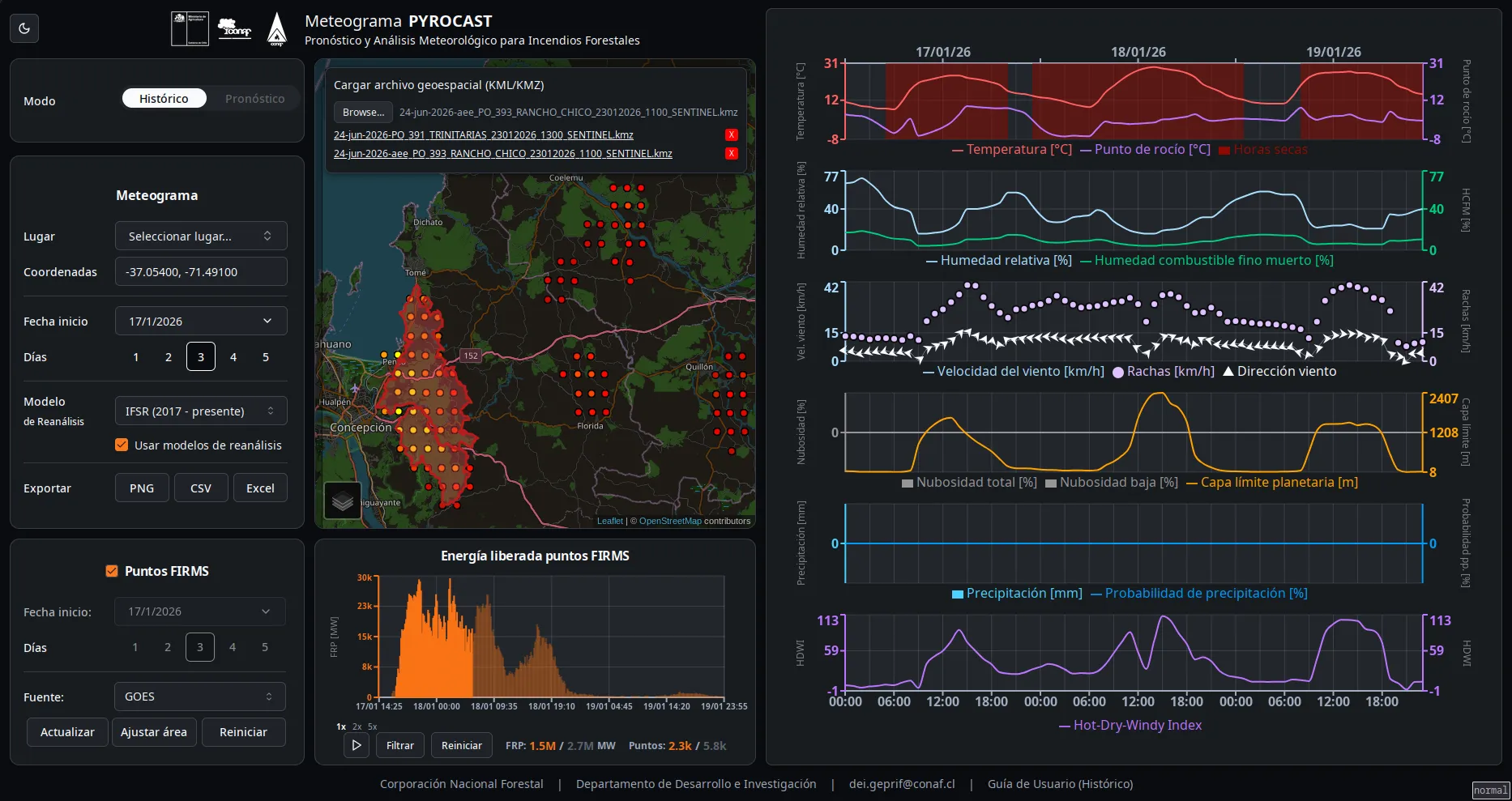
Pyrocast
CONAF’s wildfire weather and satellite monitoring app, used by fire analysts throughout Chile and abroad.
I’m Iñigo Echeverría, a geologist and geospatial developer. I do GIS analysis and build interactive web maps, spatial data pipelines and scientific tools for teams that make decisions on maps.
Loading this week’s fire detections…
Fires flare up every afternoon. Click the chart to jump in time.
I build software for teams whose decisions depend on maps, satellites and Earth data: public agencies, environmental and mining consultancies, research groups and startups.
I trained as a geologist before I wrote production code, so I understand the data before I build around it. Most of my work comes down to this: taking spatial data that is hard to reach or hard to read, processing it, and turning it into a tool people can use without me.
Web GIS apps and dashboards that stay fast with thousands of features, and the full stack behind them: database, API, authentication and deployment.
Spatial analysis in ArcGIS Pro and QGIS, from multicriteria and risk mapping to national-scale raster processing, delivered as maps ready for a report or a decision.
Python scripts and scheduled jobs that collect data from agencies, databases and APIs, run the geoprocessing and publish the results to ArcGIS Online, a web app or a spreadsheet, with no manual steps.
Satellite data in your workflow: imagery and derived products from Earth observation missions, processed with Orfeo ToolBox or Google Earth Engine, and large rasters read straight from the cloud instead of downloaded.
Fast, reproducible models and analysis code in Python, written by a geoscientist: vectorised NumPy and xarray, equations derived and checked with SymPy, notebooks your team can rerun.
Projects I’ve led or contributed to, from production tools to research code.
CONAF’s wildfire weather and satellite monitoring app, used by fire analysts throughout Chile and abroad.
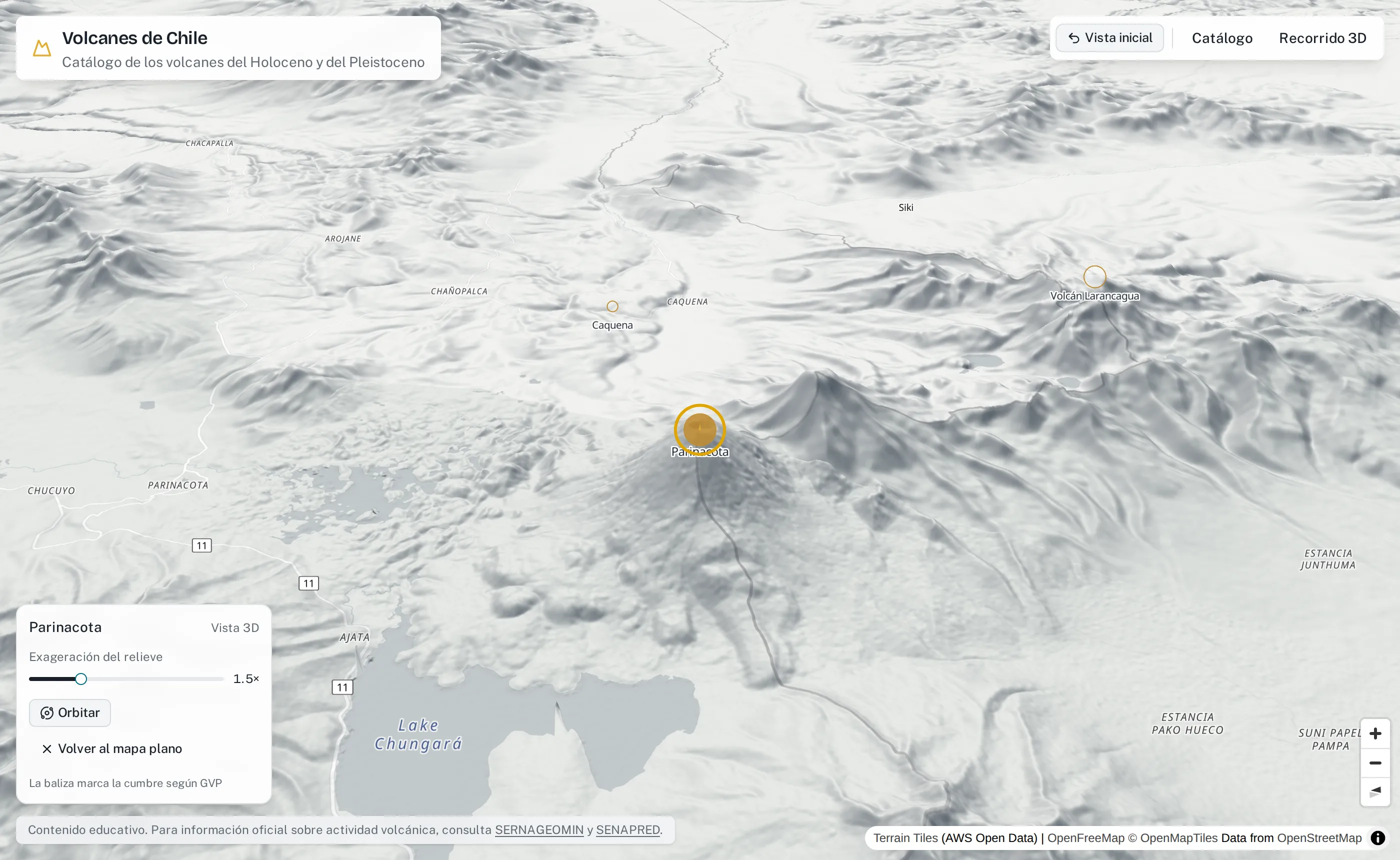
An interactive map and 3D view of Chile’s 158 volcanoes for the general public, built on open data and free services. In development.
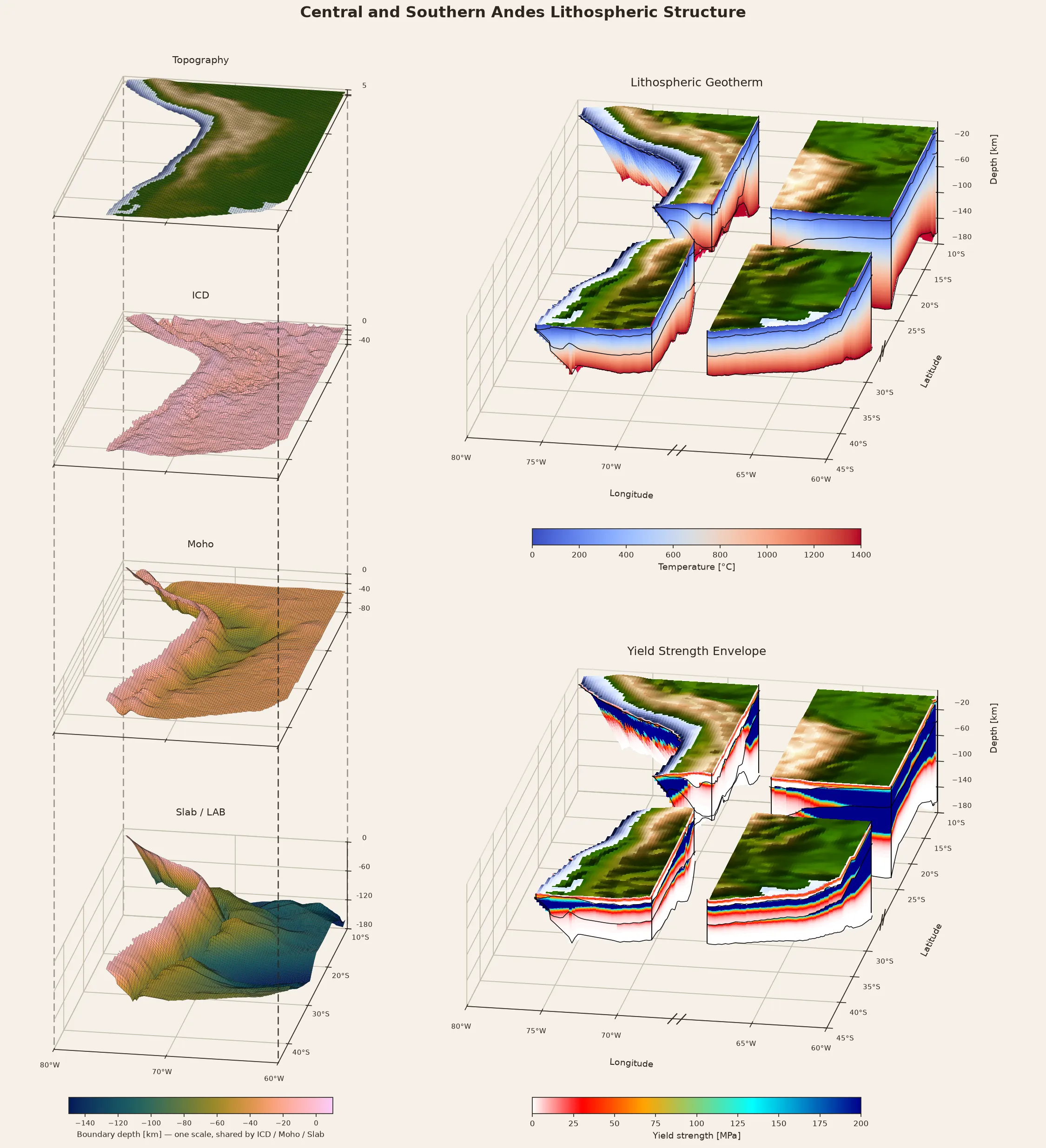
A Python library for thermomechanical models of the Andean lithosphere. Its redesign around array operations made each model run 30 times faster.
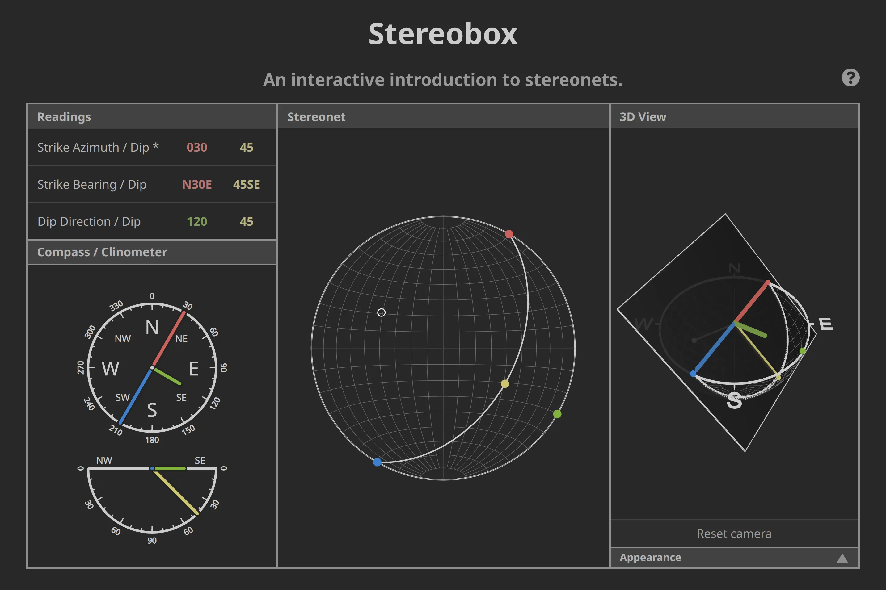
An interactive stereonet for learning structural geology, linking compass readings, the stereonet and the plane in 3D.
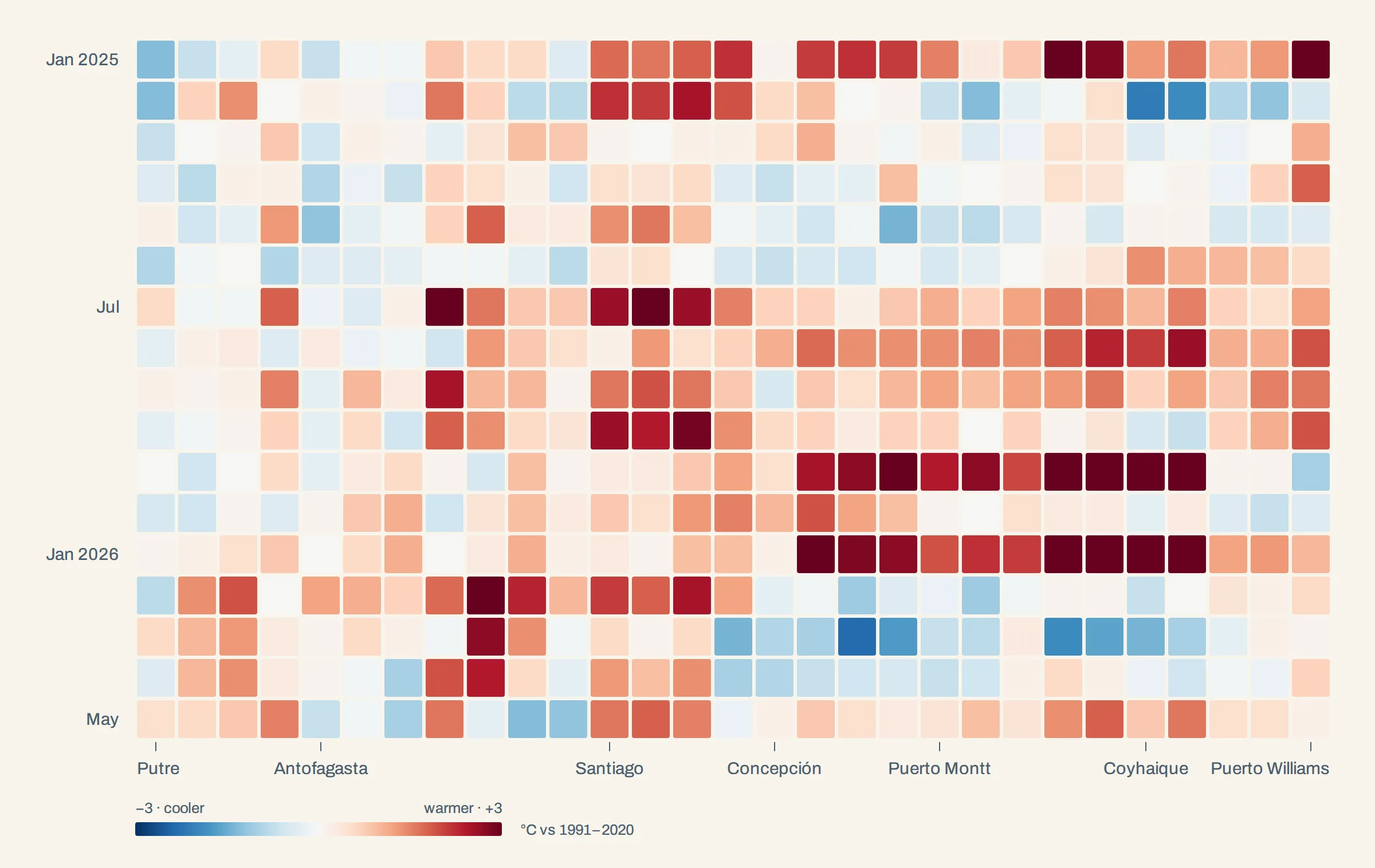
Monthly climate anomalies for Chile’s weather stations, built automatically from the national weather service’s records to show where the fire season is running hotter or drier than normal.
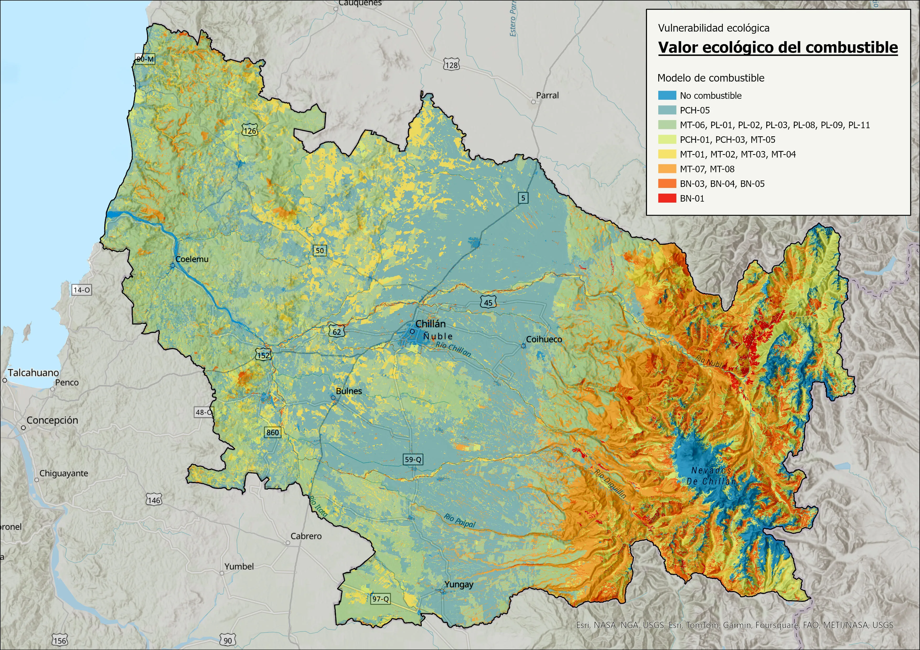
Hazard, vulnerability and risk maps for continental Chile at 10 m resolution, adapting the EU’s wildfire risk method to Chilean data.
I’m a geologist and full-stack developer based in Santiago, Chile. I’ve worked as a geospatial developer and GIS analyst in disaster risk reduction, as a research assistant in geophysics, with work co-authored in Earth-Science Reviews, and as a field operations interpreter on an international wildfire-fighting mission in Canada.
That mix lets me talk with scientists, field crews, engineers and geospatial data professionals on their own terms, and build the tools that help them understand each other and act, from raw data processing to the maps and dashboards they share.
I work remotely, in English and Spanish, on hours that overlap with most of the Americas.
“Iñigo is able to design and program algorithms that solve complex geological problems with extraordinary ease and professionalism.”
“Iñigo has shown outstanding ability to translate complex operational needs into functional, scalable technology tools.”
Translated from Spanish.
Describe the data you have and what you need to do with it. A rough idea is enough to start; I reply to every message, in English or Spanish.
Based in Santiago, Chile, 33.45°S 70.67°W