Volcanes de Chile
An interactive map and 3D view of Chile’s 158 volcanoes for the general public, built on open data and free services. In development.
- Designer and developer
- 2026, in development
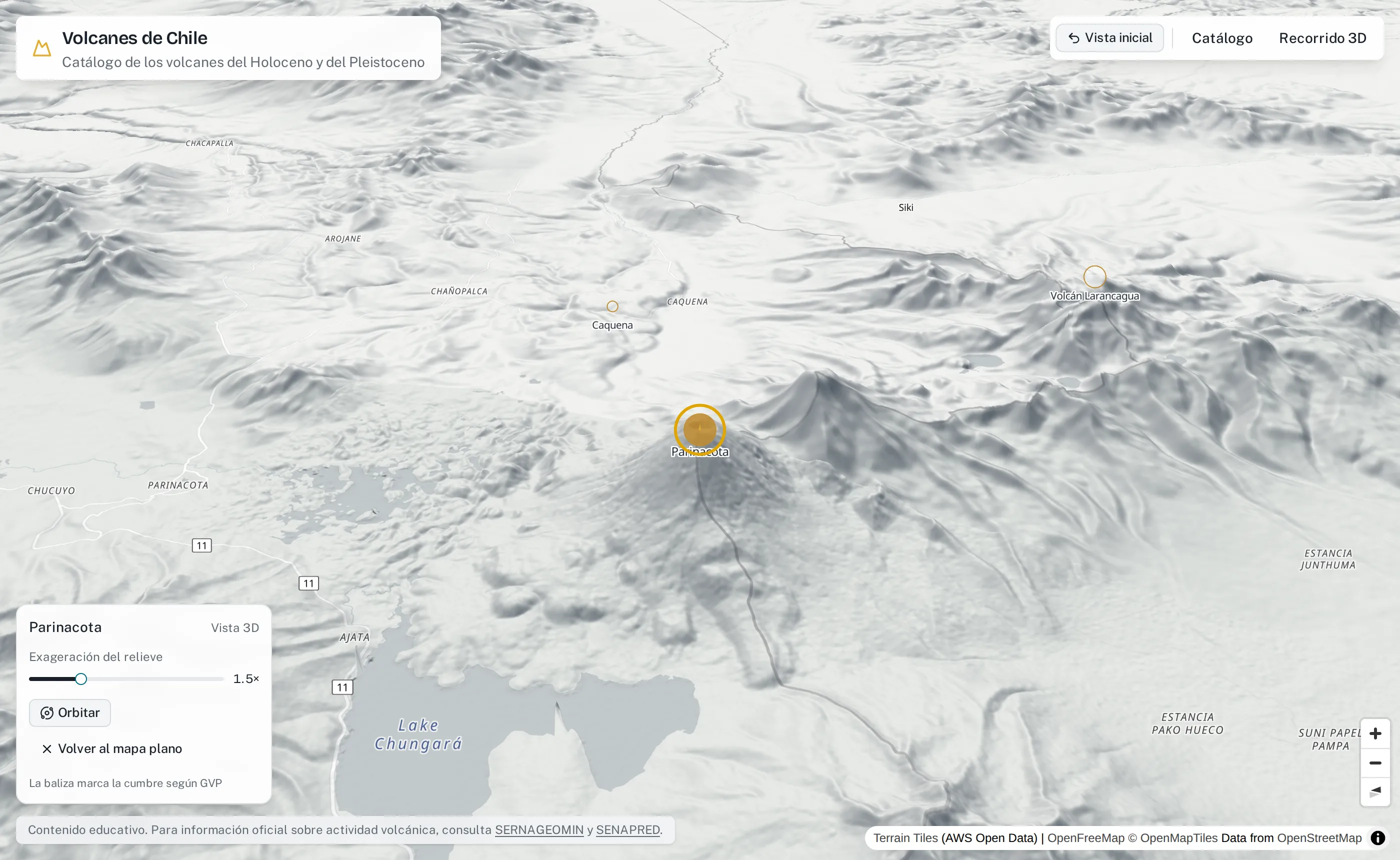
Chile has one of the longest volcanic chains on Earth, but the information about it is scattered across scientific databases and encyclopaedias. Volcanes de Chile gathers it into one map for the general public, written the way a science communicator would explain it. It is educational, not a monitoring tool: it shows no alert levels and links to SERNAGEOMIN and SENAPRED for official information.
What it does
- A catalogue of every volcano. All 158 volcanoes in Chile from the Smithsonian Global Volcanism Program, searchable and filterable by list, volcanic zone and evidence of activity, with a latitude ribbon that indexes the whole chain north to south. Every view lives in the URL, so it can be shared.
- A detail panel for each one. Photo with credit, key figures, an eruption timeline, a short story and a glossary that explains terms on hover.
- A 3D view. The map tilts onto real terrain with hillshade, and the camera locks onto the summit, so zooming and rotating always stay centred on the volcano. A marker drawn with three.js shares MapLibre’s own camera, so it never drifts.
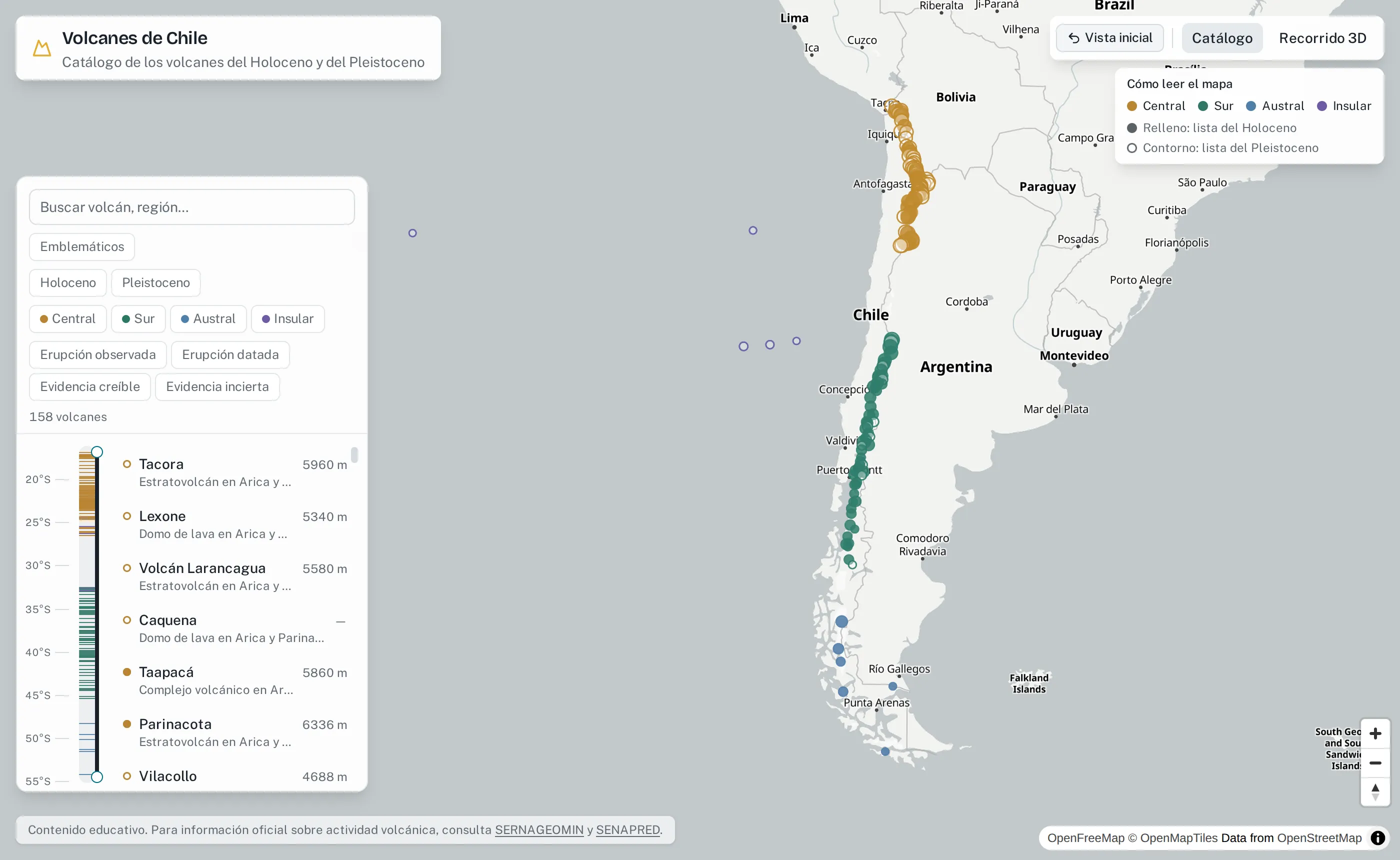
The catalogue: every volcano coloured by volcanic zone, with the latitude ribbon beside the list. Interface in Spanish.
How it is built
- A data pipeline merges the Global Volcanism Program, Wikidata, Wikipedia, Wikimedia Commons and geoBoundaries, validates everything against one schema shared with the app, and writes static files, so the app never depends on a live API.
- Reviewed content only. Every text cites the exact Wikipedia revision it comes from, and only texts I have reviewed reach the public build; tests enforce both.
- Free and open services only: OpenFreeMap, open terrain tiles and Cloudflare’s free tier.
Next: a guided 3D tour along the chain, north to south.